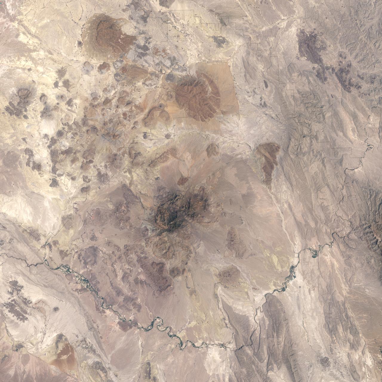
I've driven past Big Bend National Park four times in my life. Three of those times I was pulling a flatbed loaded with farm equipment headed for the Pecos Valley. The fourth time I was running light — empty trailer, just me and the road — and I had the radio off because B.B. King was on the cassette and I'd heard it enough to let it play without listening.
You don't really see Big Bend from the highway. You see Marathon, Texas. You see the scrub. You see a sign that says "ENTERING BREWSTER COUNTY — POPULATION 9,500" and you think about how spread thin those 9,500 souls must be across all that high desert. Then the highway bends and you're past it, and the park sits down there in its canyon like a secret the road decided not to tell you.
Last week I read that the Trump administration briefly paused a contentious border project in Big Bend National Park. Customs and Border Protection had been pushing forward with infrastructure — roads, barriers, surveillance — right through park land, and the public pushed back hard enough that they hit pause.
You can read the details in the WCBI report and the Breitbart story. Both sides have their say. But what got my attention wasn't the politics. It was the place.
I've spent forty years on the edges of things. State lines. County lines. The line where the speed limit drops from 75 to 55 because the town starts. The line where the shoulder disappears and you've got six inches between your tires and a guardrail.
Big Bend sits on the kind of edge most people never see — the international boundary with Mexico, marked by the Rio Grande, which at that point is a modest river you could wade across if you didn't mind the current. It's been a boundary for almost 200 years. Before that, it was just a river.
Here's what I know about borders from the cab of a truck: they're not natural things. They're drawn. Somebody decided that line meant something, and then a whole apparatus of roads, checkpoints, signage, and rules grew up around the decision. A park is the opposite kind of line — a line drawn to protect a place from the apparatus.
Big Bend became a national park on June 12, 1942 — wartime, fuel rationed, when most Americans couldn't drive to it anyway. According to the Wikidata record, it's also a UNESCO Biosphere Reserve, which means the international community recognizes it as something worth keeping intact. The operator is the National Park Service, and you can read their own page on the park's Man and the Biosphere designation.
I've always appreciated that about parks. They were set aside by people who understood that not every piece of land should be negotiable. That some places deserve to stay themselves.
Most border infrastructure goes through places that are already disrupted — ranchland, factory zones, the strip malls south of El Paso. You can argue about whether that's right or wrong, but it's a debate about land that's already in commercial rotation.
Big Bend is different. The park is 800,000 acres of Chihuahuan Desert, and inside that desert lives a kind of silence you can't find anywhere else. The endangered species alone — black bears, mountain lions, the Rio Grande catfish — depend on that continuity. When you punch a road through it for surveillance towers, you're not just moving dirt. You're drawing a new line through a place that was specifically protected from new lines.
The public seems to have figured this out. The outcry was loud enough to pause the project, which in 2026 is no small thing.
Here's where I come in. I deliver things. For forty years my job has been to take a load from point A to point B, and the most important thing I've learned is that how you get there matters as much as what you're carrying.
There's a direct route and a courteous route. There's the shortest path and the path that doesn't tear up somebody else's neighborhood. Every time I take a highway through a town, I'm making a choice about what kind of guest I want to be.
The border project at Big Bend was the direct route. The pause was the moment the country decided that maybe the courteous route deserved another look. I respect that. I've been on the courteous route my whole career — even when it added hours to my day — because the road doesn't belong to me. It belongs to everyone who has to live next to it.
I've learned not to confuse a pause with a resolution. The project at Big Bend is paused, not cancelled. The same pressures that drove it will push it back onto the docket. But for now, the canyon is still the canyon. The river still bends. The black bears still cross where they've always crossed.
And the next time I drive past Marathon on a flatbed full of John Deere parts, I'll know that somebody, somewhere, decided that a line on a map was worth fighting for. That makes the highway a little more interesting. Makes the road feel less like a machine and more like a place.
If you're starting out and you pull a load through west Texas, slow down at Marathon. Buy coffee at the hardware store café. Look south toward the Chisos Mountains and remember that the most valuable thing about a park is the part you can't ship — the quiet, the dark, the space where nobody's in a hurry.
That's what a pause protects. That's what a line on a map is for.
— Antonio Tircuit, parked for the night outside Kinston. The B.B. King tape is back in the deck and the road is quiet.